Predictive value With Spatial Al
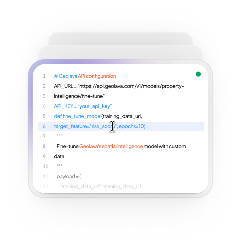
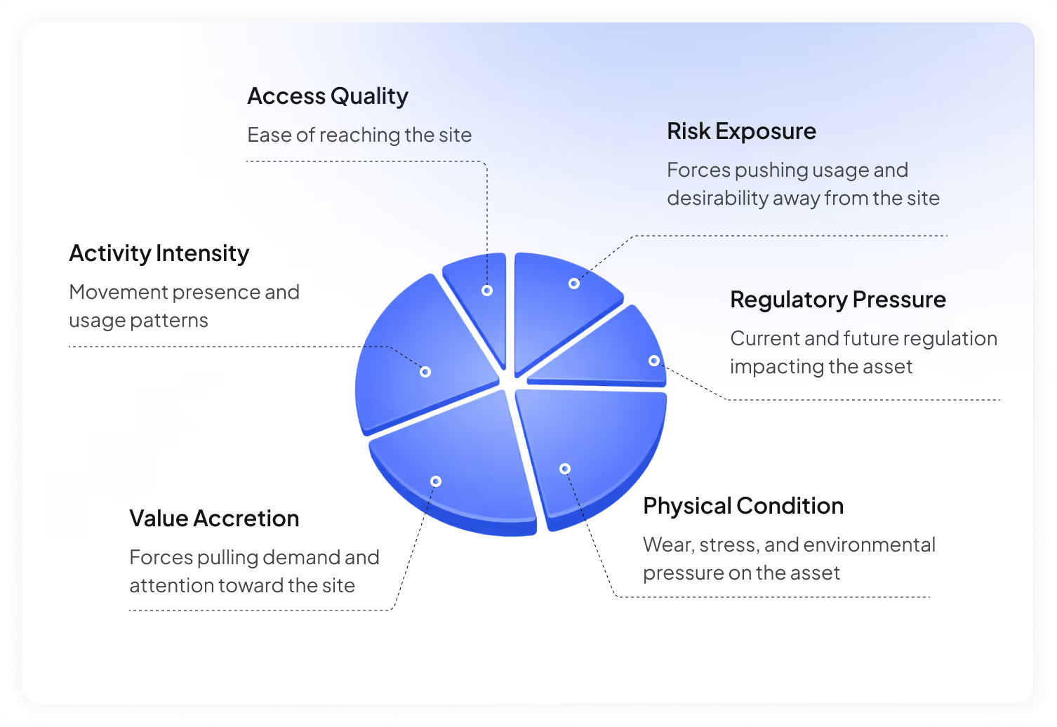
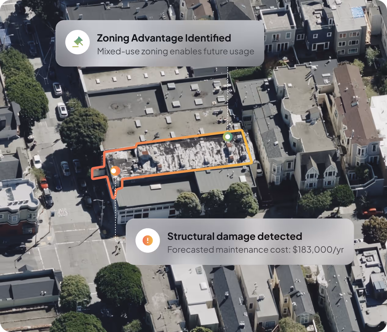
Geolava models the evolving physical world, continuously translating spatial features into advantage, exposure, or future upside across assets
Thank you! Your submission has been received!
Oops! Something went wrong while submitting the form.
Our Impact


.avif)
.svg)
.avif)
.png)
.avif)